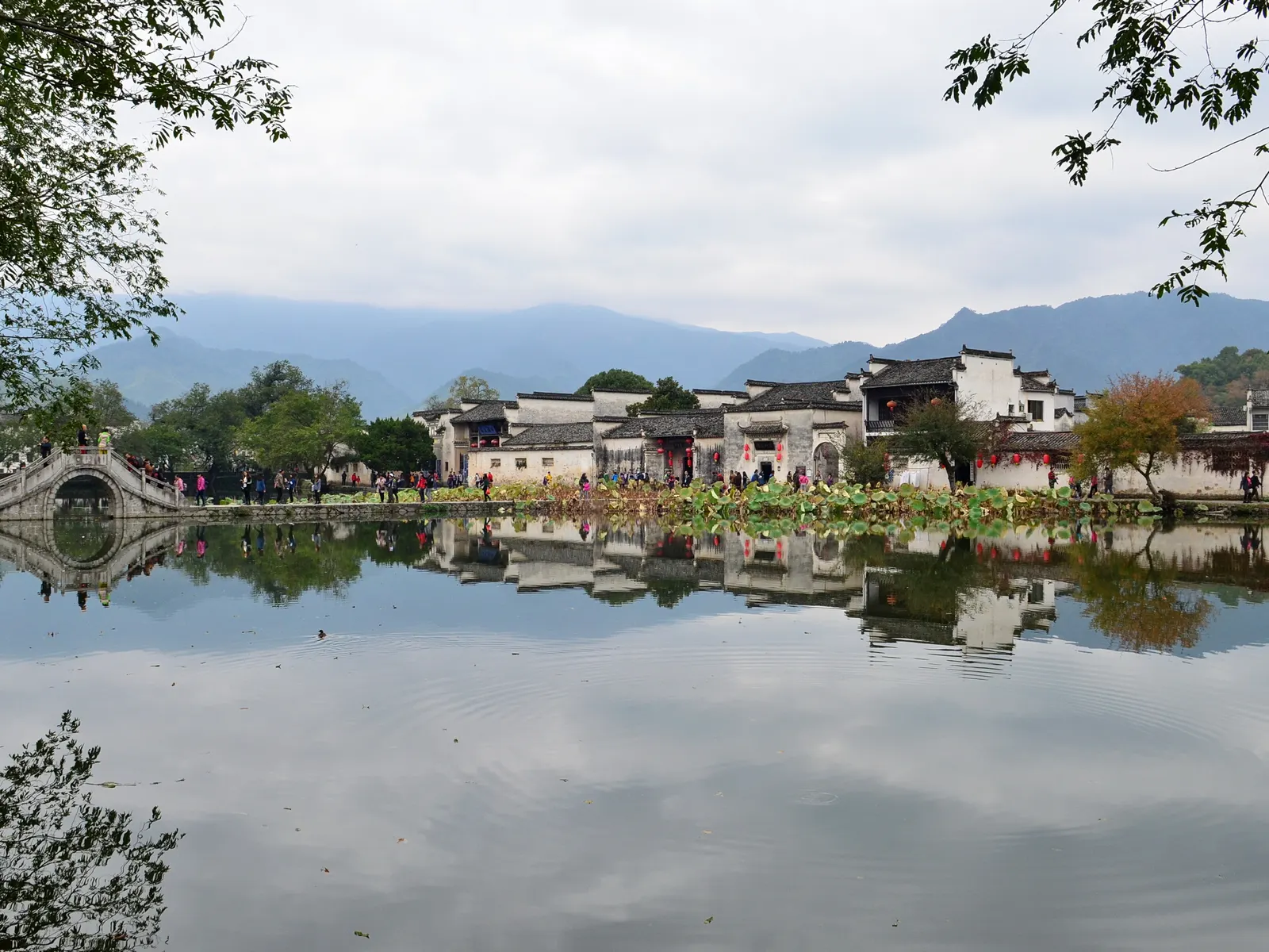
Documentary photograph by 颐园新居, shared under CC BY-SA 4.0.
Yixian County
East · Anhui
Hongcun and Its Ox-Shaped Water System
A Ming-era village planned around a man-made water loop: moon pond at the heart, south lake at the tail
Hongcun was laid out in the shape of an ox with a working water system as its skeleton: a channel runs past every doorstep, gathers at the crescent Moon Pond in the village heart, and finally settles in South Lake — where Ming and Qing houses stand doubled in still water under horse-head gables.
- white walls
- pond reflection
- horse-head gables
Spring
Rapeseed gold around the village
Spring rapeseed fields ring the village in yellow, and white walls borrow their glow.
Place layer
Huangshan, Anhui
Hongcun Village
- Coordinates
- 30.0022° N, 117.9887° E
- Seasonal clothing cue
- Under Huangshan’s western ridges the village sits face-down in its own pond: the reflection is the front door.
- Reality check
- Map, 3D and Street View availability depends on regional coverage and capture date; this is a reference view, not a live feed.
Map, 3D and Street View availability depends on regional coverage and capture date. This layer is a fast reference, not a live feed.