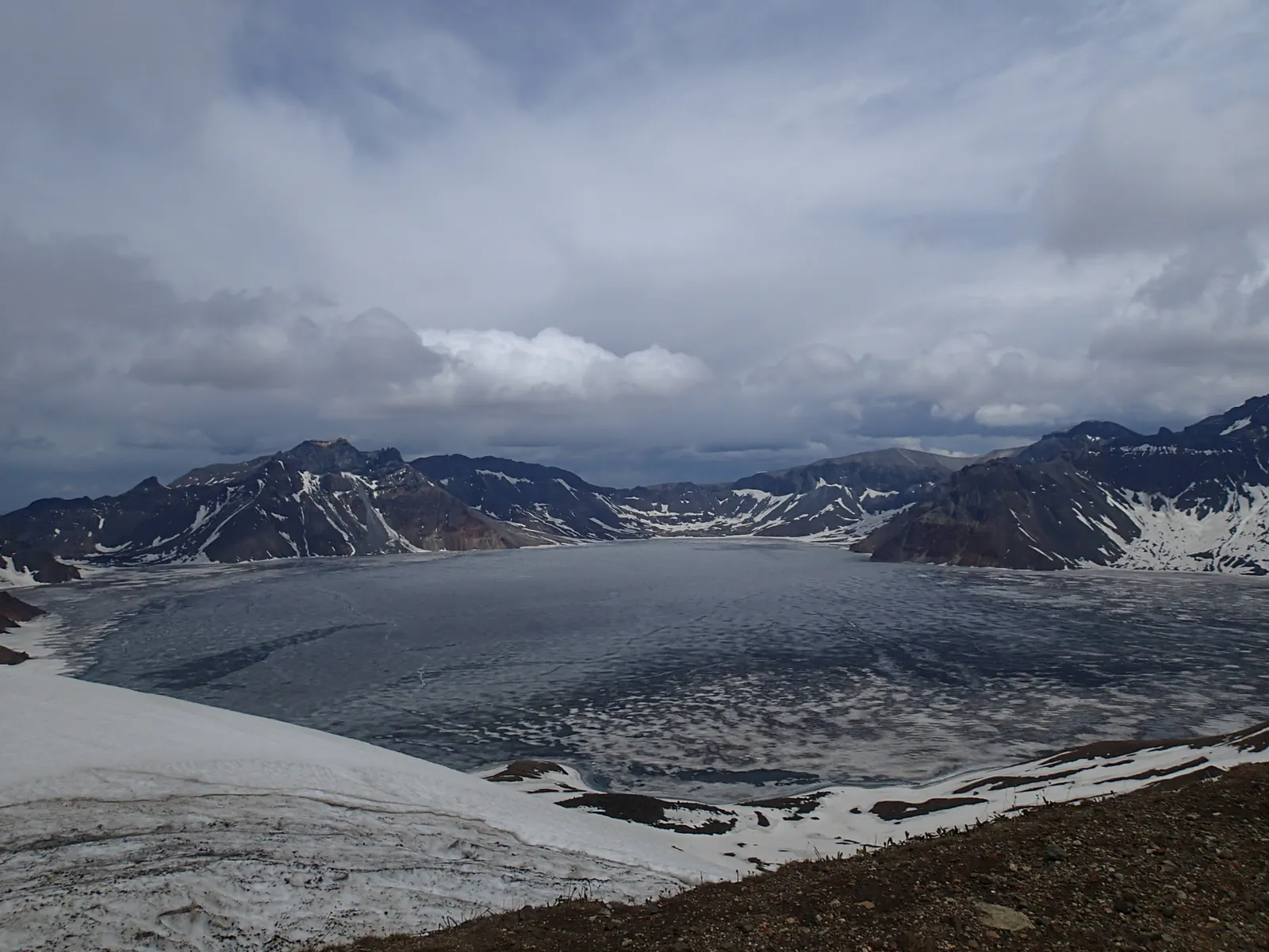
Documentary photograph by Raki_Man, shared under CC BY 3.0.
Changbai Mountain
Northeast · Jilin
Changbai Tianchi, Crater at the Cloud Line
A crater lake held at 2,190 m, shared by two countries, seen through a slot in the rim
China's deepest lake fills an intact volcanic crater: from the rim platforms the water reads as solid blue porcelain, ringed by sixteen peaks, and it vanishes into cloud for days at a time.
- crater blue
- rime
- volcanic rim
Spring
Ice-out week
The lake holds its ice into June; the break-up week draws photographers for floating blue pans.
Place layer
Changbai Mountain North Slope Scenic Area
Changbai Mountain
- Coordinates
- 42.0060° N, 128.0570° E
- Seasonal clothing cue
- Summit weather flips in minutes even in August: full wind layer, gloves, and eye on the hourly forecast.
- Reality check
- Map, 3D and Street View availability depends on regional coverage and capture date; this is a reference view, not a live feed.
Map, 3D and Street View availability depends on regional coverage and capture date. This layer is a fast reference, not a live feed.