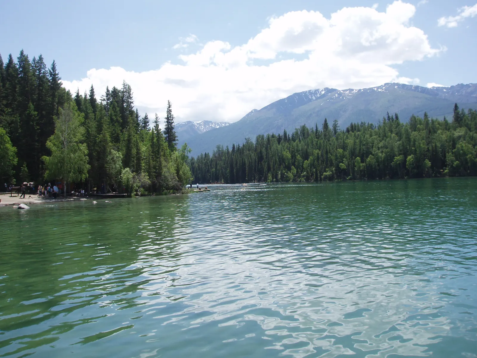
Documentary photograph by Fanghong, shared under CC BY-SA 3.0.
Altay Prefecture
Northwest · Xinjiang
Kanas, the Far Blue Bend
A glacial lake feeding Siberian larch forest at China's far northwest corner
A milky turquoise glacial lake folded into Siberian forest, with river bends upstream that look drawn rather than eroded, and Tuva villages holding the valleys between.
- glacial blue
- larch forest
- river bend
Spring
Ice-out on the lake
Spring break-up sends ice floes down the outlet river; the forest stays silver-bare for weeks.
Place layer
Kanas Lake Nature Reserve
Altay Prefecture
- Coordinates
- 48.7060° N, 87.0100° E
- Seasonal clothing cue
- Northern latitude and altitude swing hard: sub-zero mornings even in summer, full sun protection on open water.
- Reality check
- Map, 3D and Street View availability depends on regional coverage and capture date; this is a reference view, not a live feed.
Map, 3D and Street View availability depends on regional coverage and capture date. This layer is a fast reference, not a live feed.